

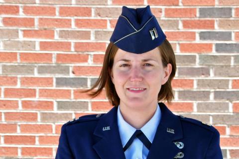
When Lauren Maloney trained in military intelligence with the U.S. Air Force, she was impressed by how much information could be conveyed by geospatial intelligence, which uses images and data to analyze activity in specific locations.
Read the Full News Story