
Drilling Reports
Borehole drilling began November 15th at Little Bay. The first hole reached 292 feet, and was abandoned at a clay layer.
The rig was moved to begin a new hole at Pelican Ghaut (November 25th) and drilling was completed c. December 10th. The full string of instruments was successfully installed in this first successful hole.
Drilling began on Friday December 13 at the second hole - the Air Studios site near the Belham River. Drilling halted December 19th at 279 feet, resumed in the New Year, and reached a total depth of 570 ft in excellent rock on January 8th, 2003. The strainmeter was installed at 622 ft on January 12th.
Drilling of the third hole, at Drummond's (near the heliport), began on January 15th, and reached total depth of 679 ft on January 25th.
Drilling of the fourth hole, at Olveston, began on January 28th, and completed in March 2003.
Connect to additional project details from the University of Arkansas.
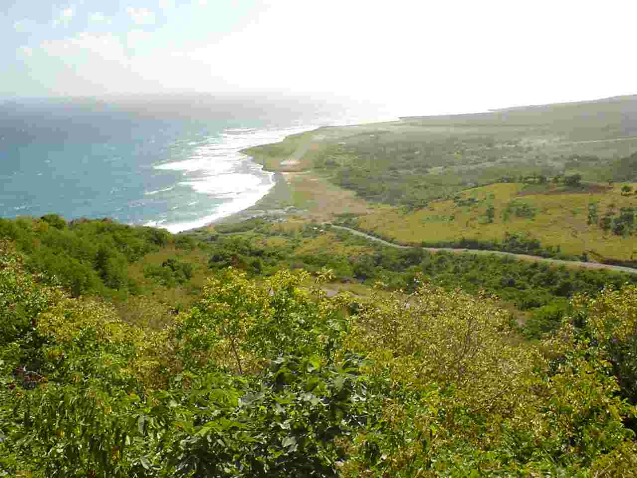 |
View from Jack Boy Hill overlooking the Pelican Ghaut drillhole site. |
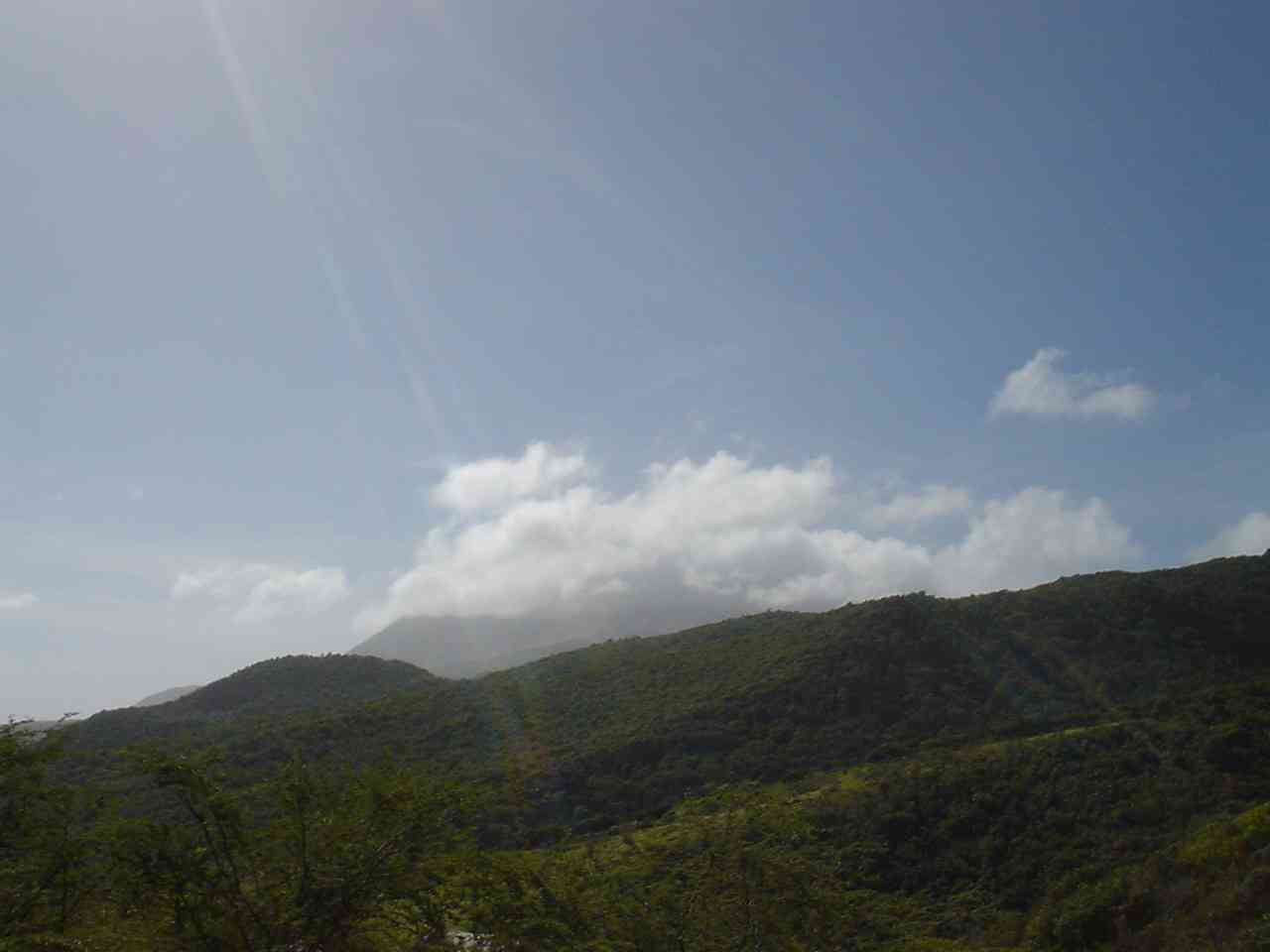 |
SHV from Trants. |
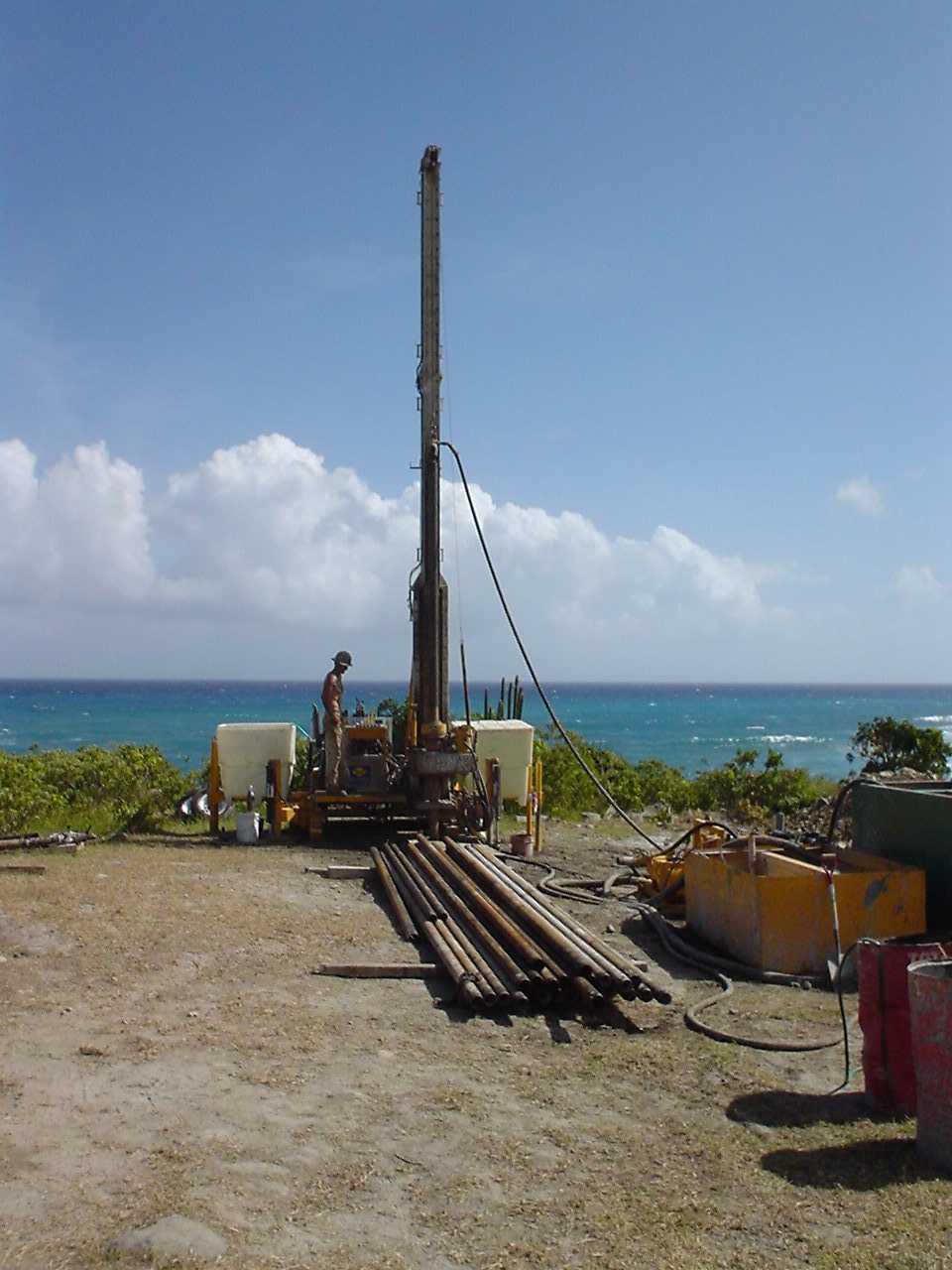 |
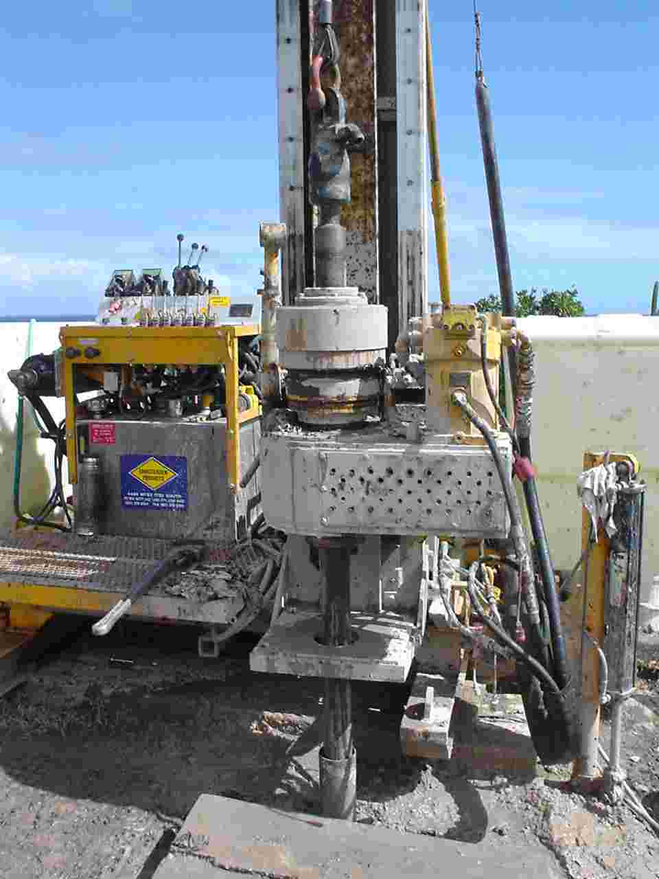
CS 500 rig set-up at the Pelican Ghaut (Trant's or Airport) site. Mast set vertically, and coupled 10 foot lengths of PQ casing arranged in foreground in 20 foot segments. |
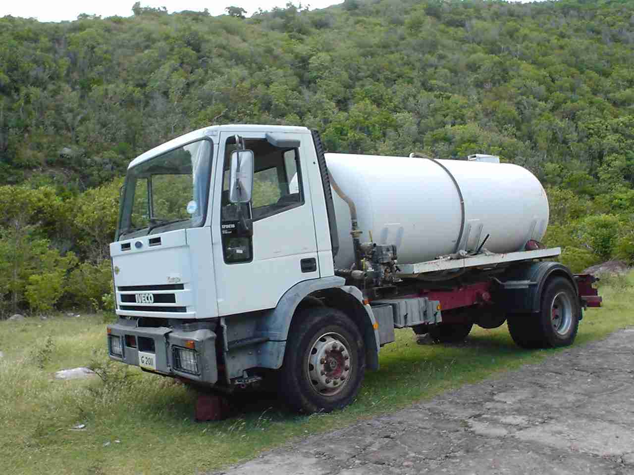 |
1500 gallon water truck. Broken-down and awaiting a connecting rod replacement. |
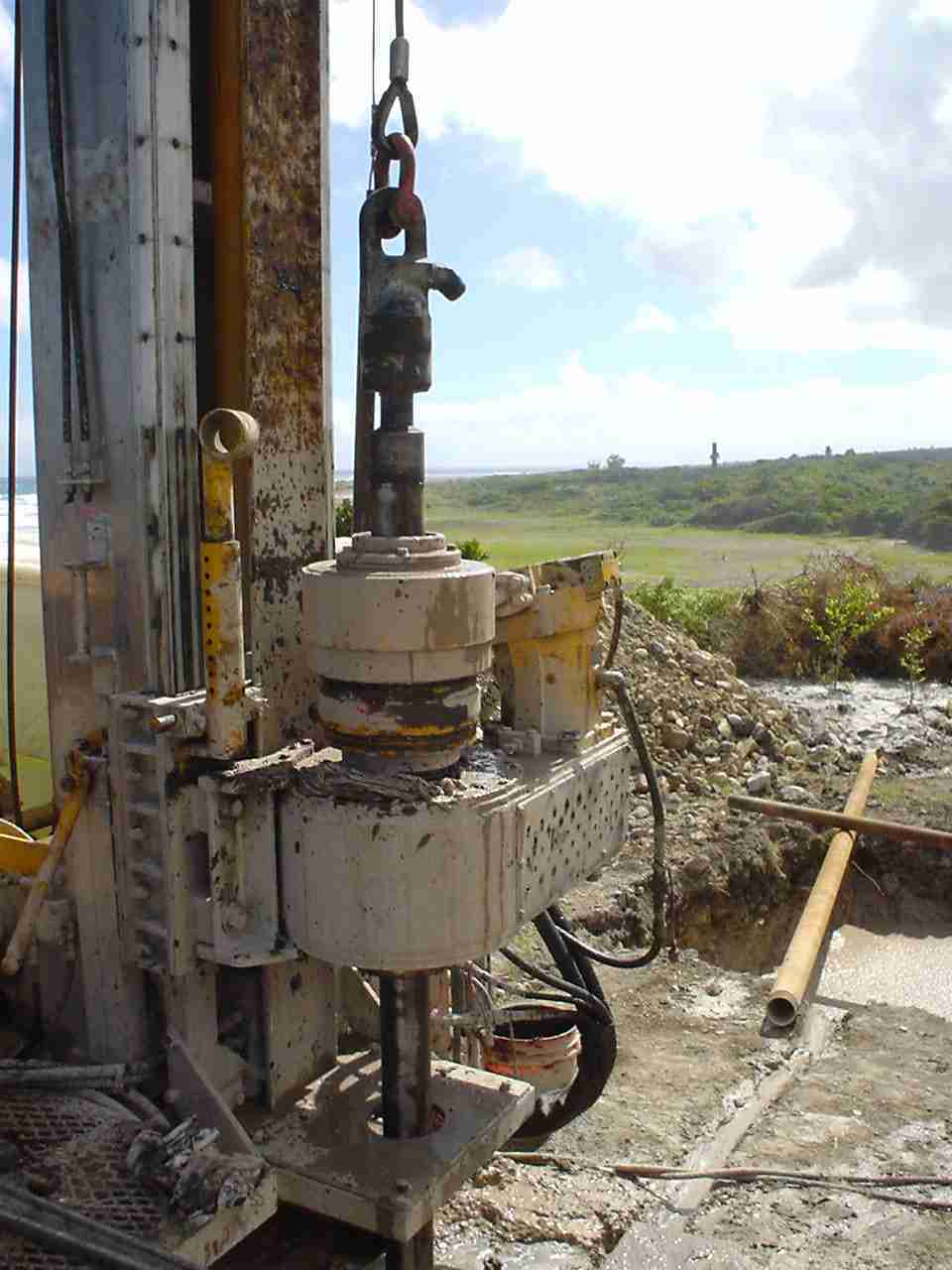 |
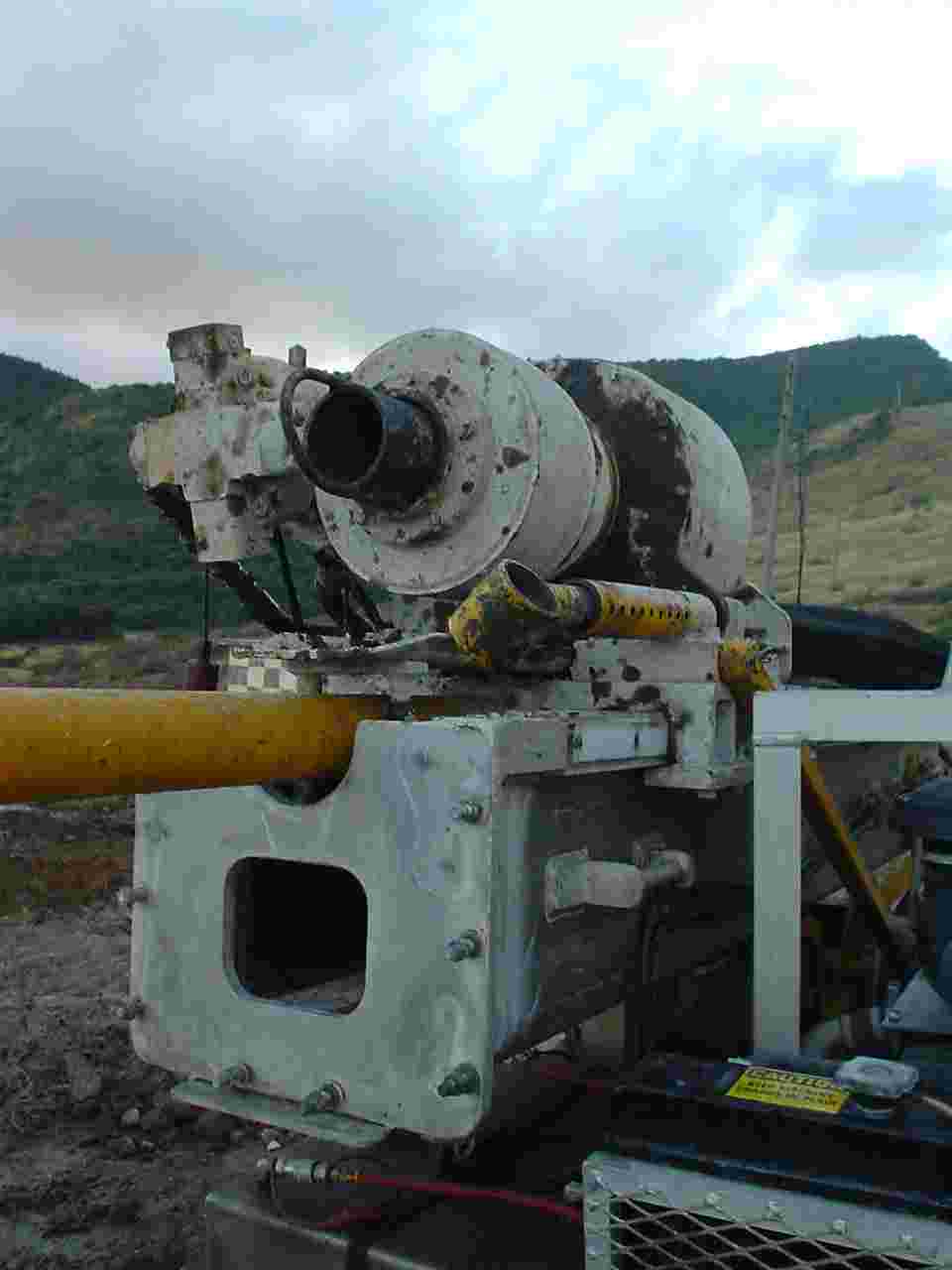
Turntable of rig with HQ casing used as drill-rod to core beyond the base of the larger diameter PQ casing, set to 500 feet. |
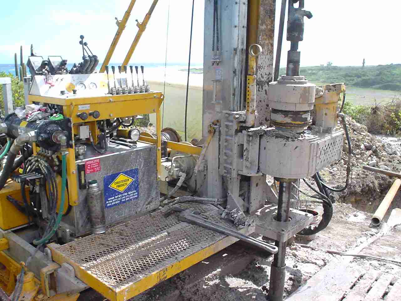 |
Drill-rig with operating platform and controls. HQ casing set in hole. |
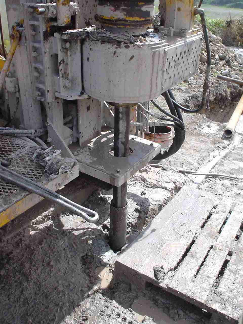 |
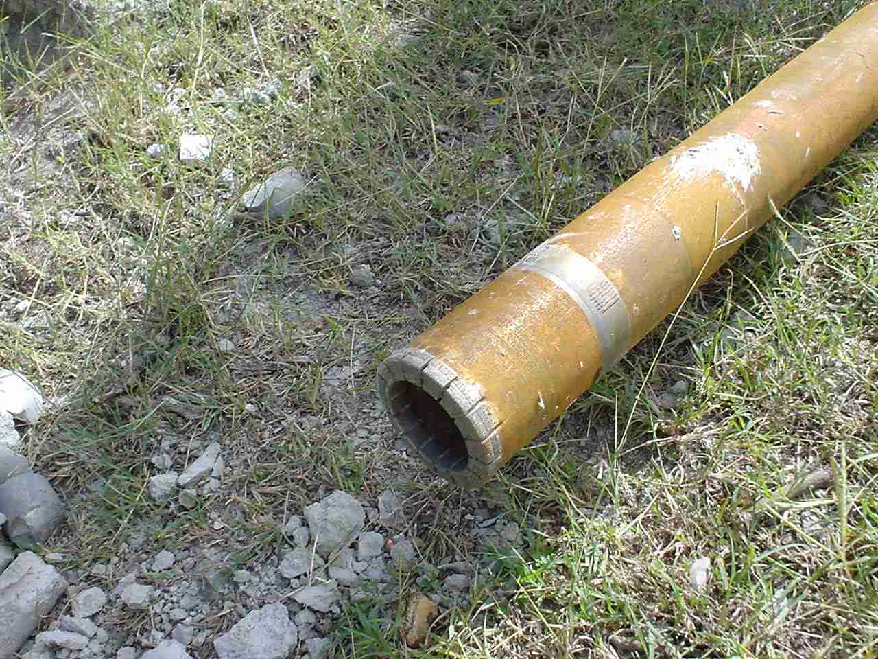
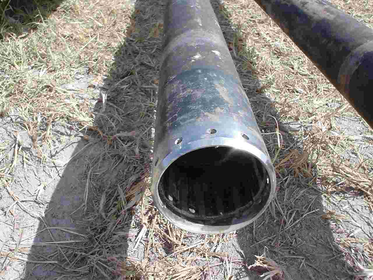
Close-up of PQ casing with the HQ casing set inside and drilling to completion depth for instrument installation. |
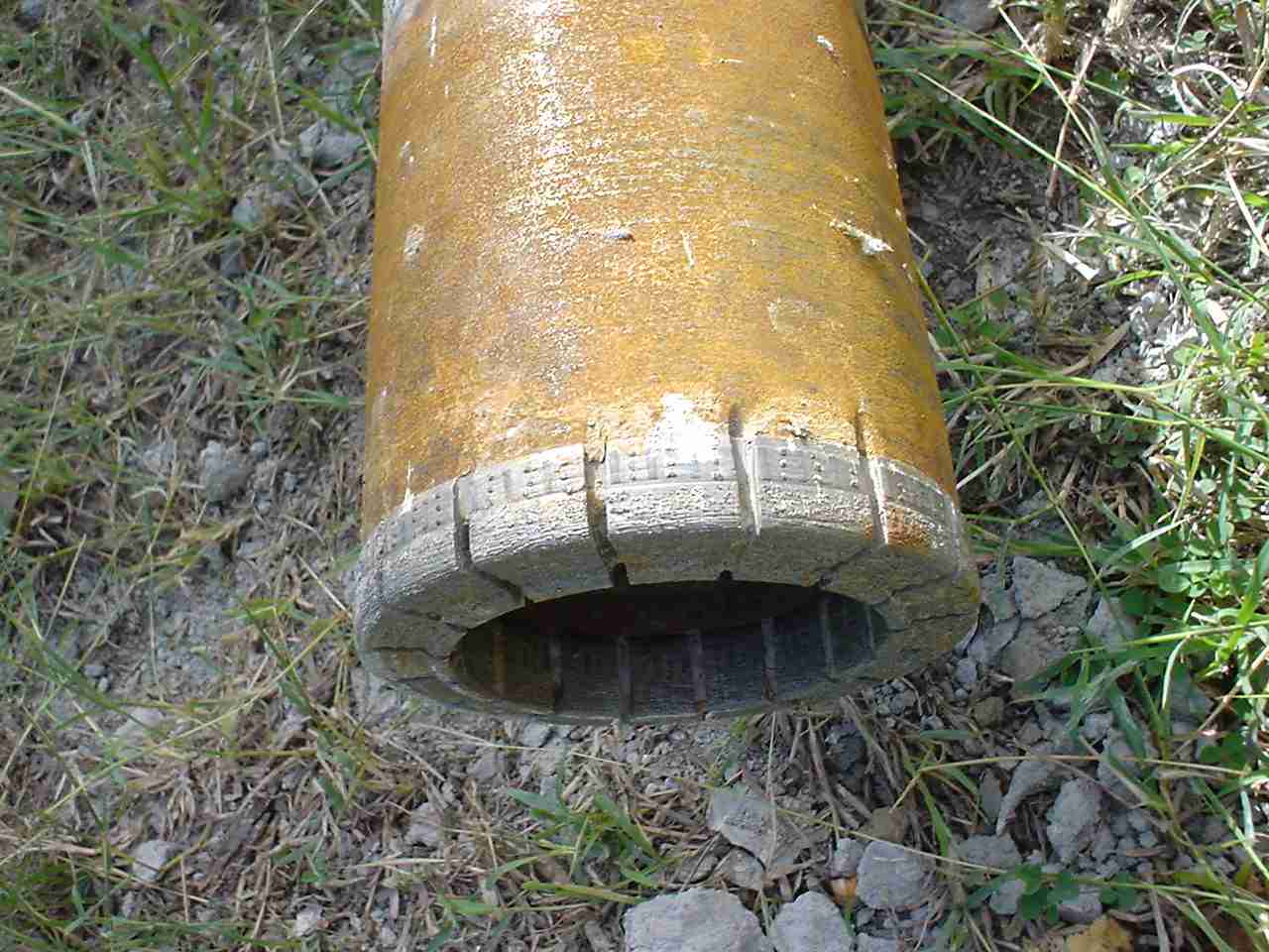 |
Cutting shoe. |
 |
Cutting shoe. |
 |
Wireline tool to recover core barrel from down-hole. |
 |
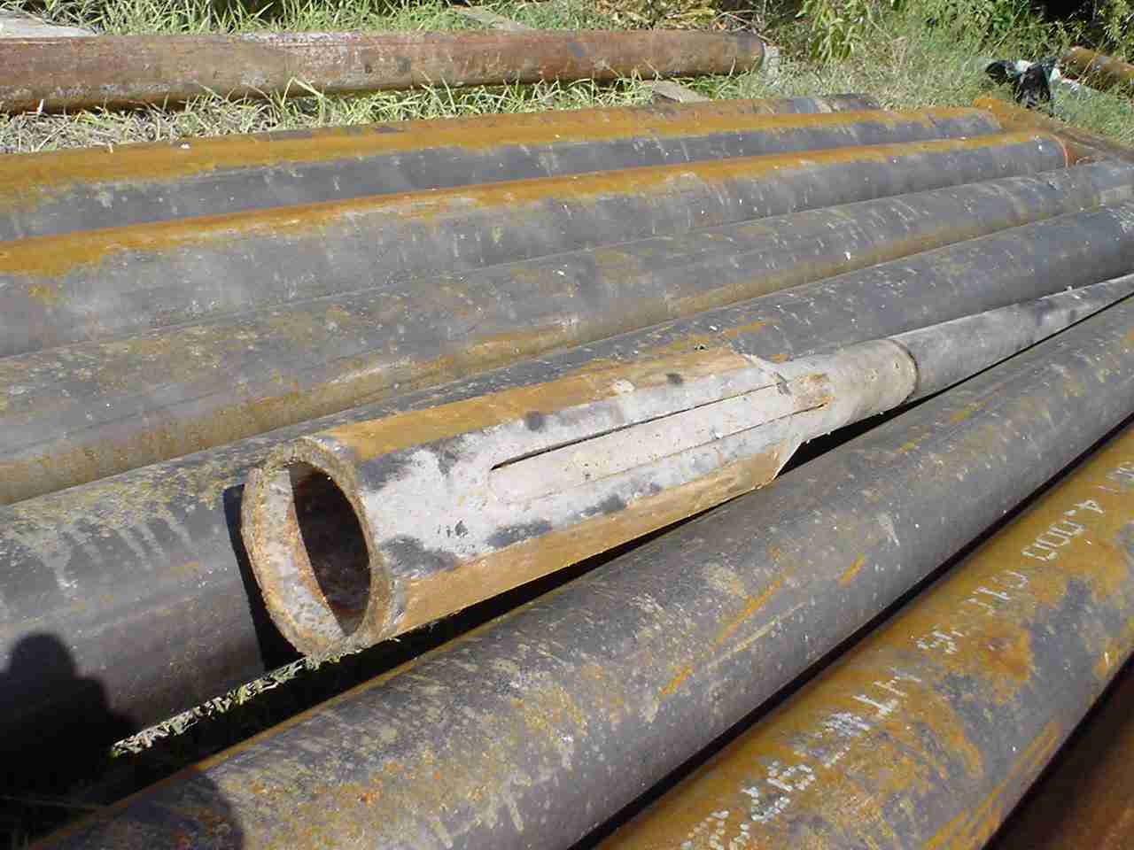
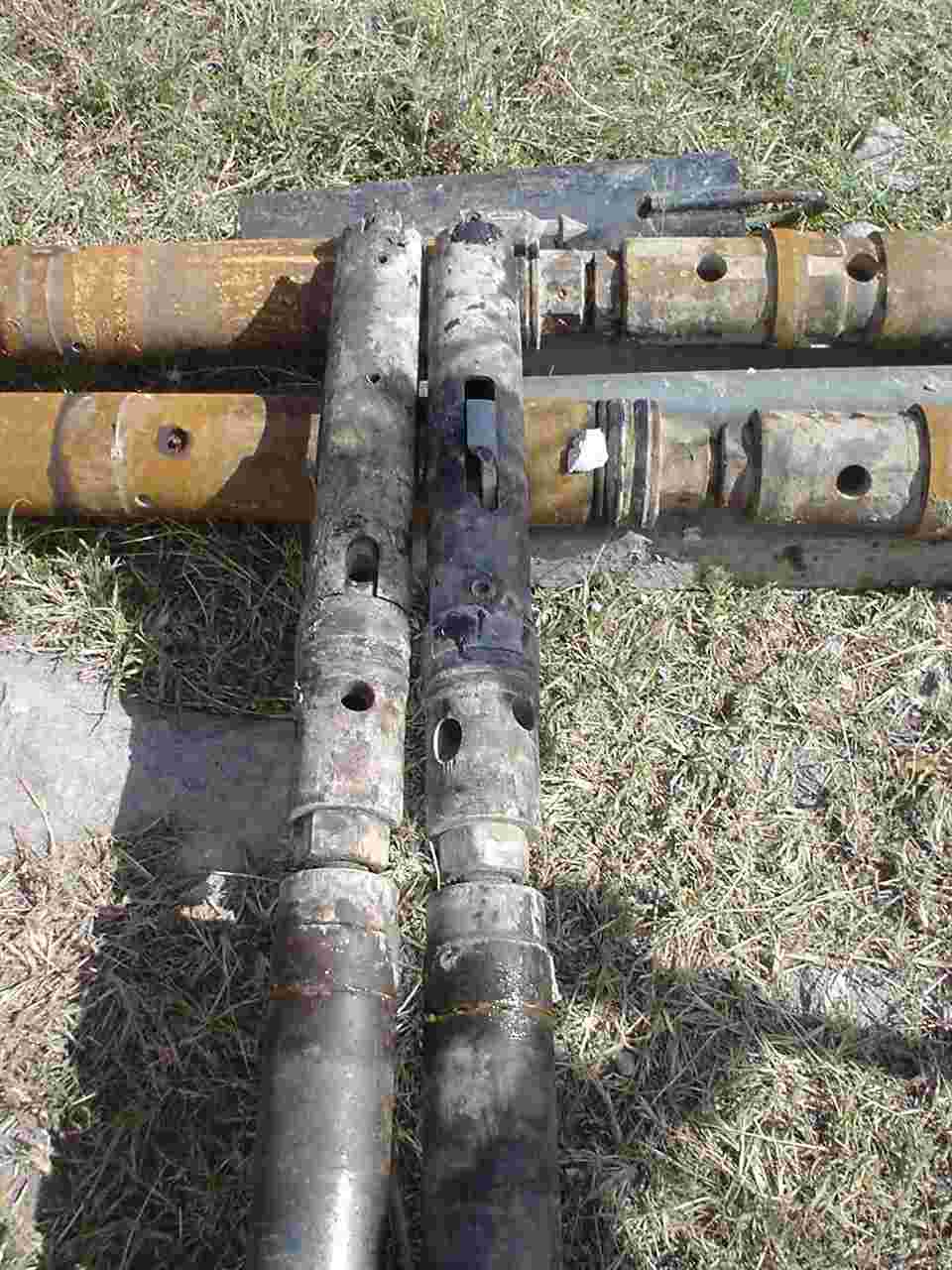
Casing joints. Casing used as drill rod in this particular application. |
 |
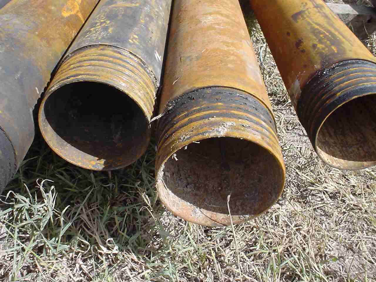
PQ casing, left, and core barrels. |
|
|
Core barrels. |
 |
Core-catcher in barrel tip. |
 |
Couplings for the wireline tool. |
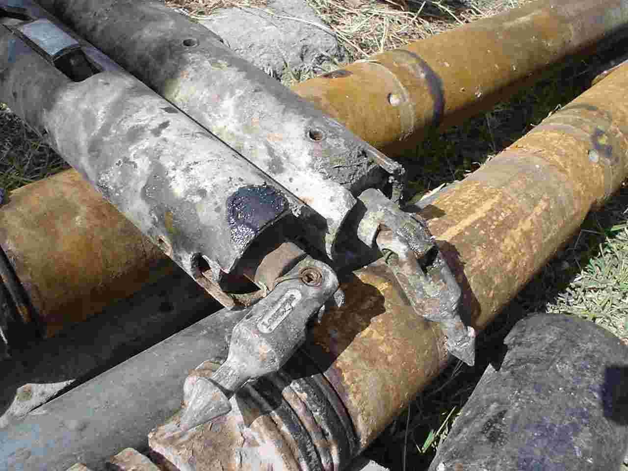 |
Wireline couplings. |
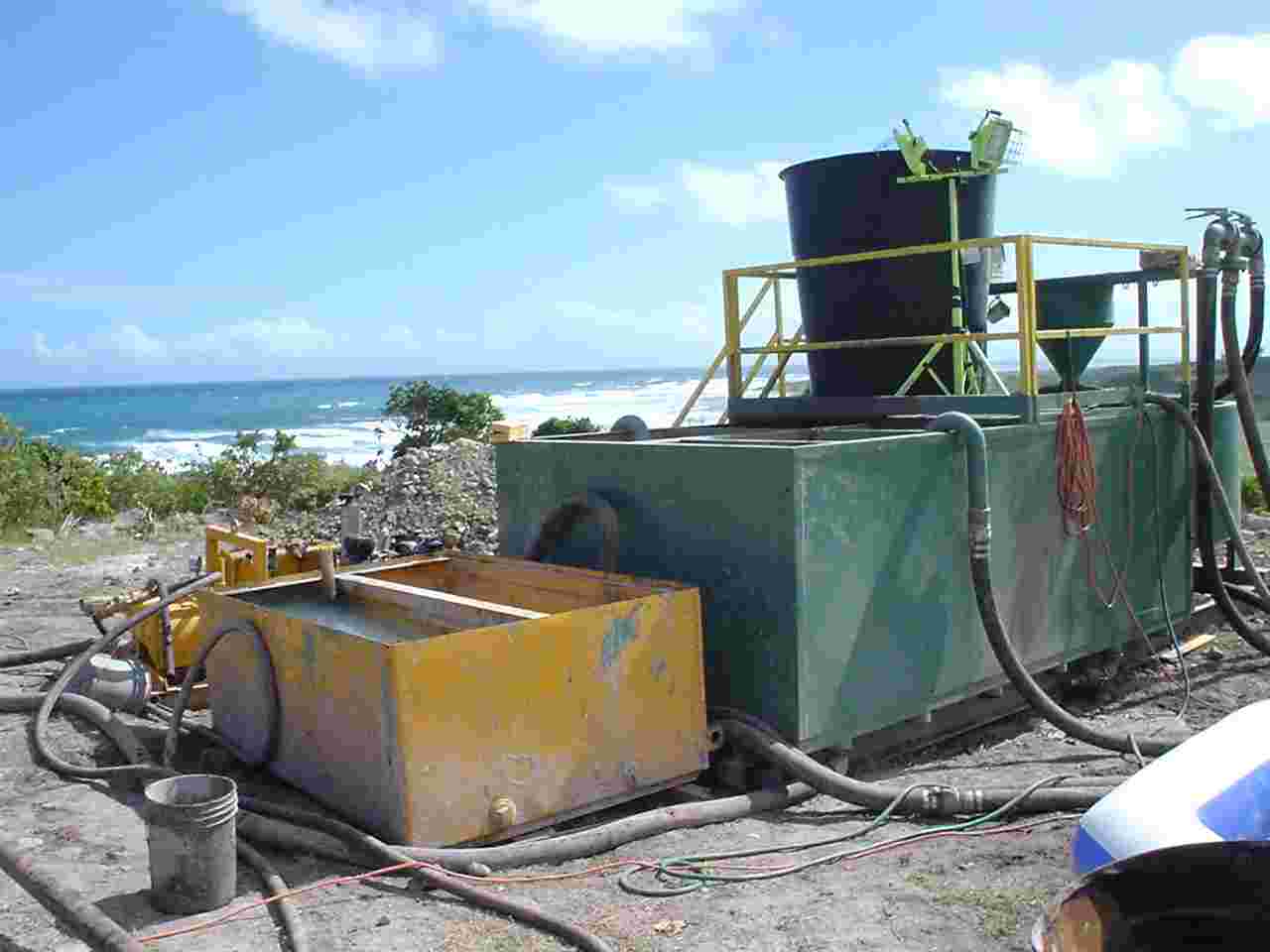 |
Mud tanks. |
 |
Drilling in progress with returned circulation. |
|
|
Wireline recovery of core from the hole base. Laying core barrel on the ground, following its recovery. |
|
|
Breaking the wireline coupling from the top of the core barrel, to begin removal of the recovered core. |
|
|
Removing the recovered core (left) while an empty core barrel is readied to return down the hole. |
|
|
Completing preparations to recover core. |
|
|
Removing core from the core barrel into a split pipe, ready for logging. Base of hole is recovered last. |
|
|
Taking core to shack for logging. |
|
|
Drilling continues..... |
|
|
Panorama of drill site showing drill-rig and mud tanks. SHV dome in background. |
|
|
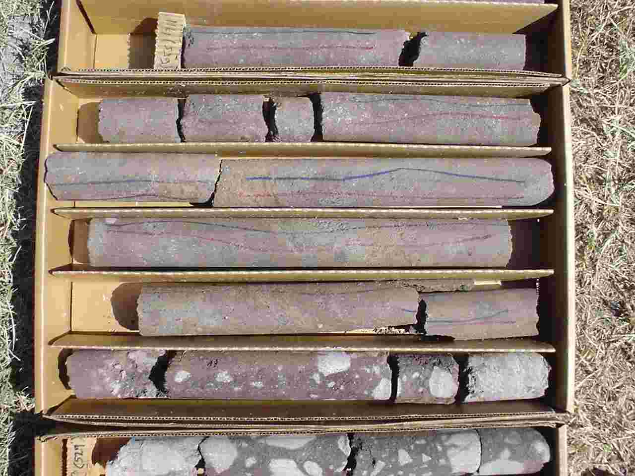
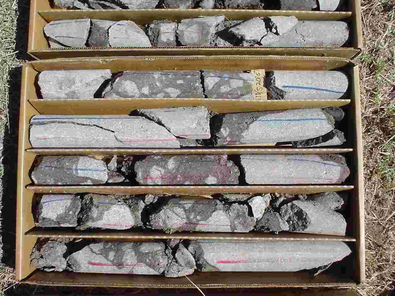
Core ready for logging. |
|
|
New MVO at Fleming Road (loking north) and panorama towards SHV (south) and then towards Garibaldi Hill (west). |
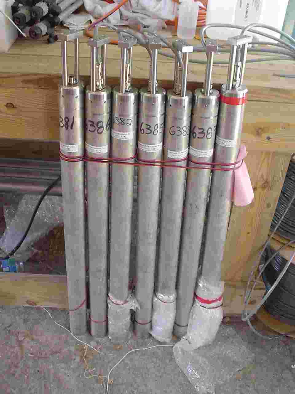 |
Pinnacle Technologies tiltmeters ready for testing and subsequent installation. |
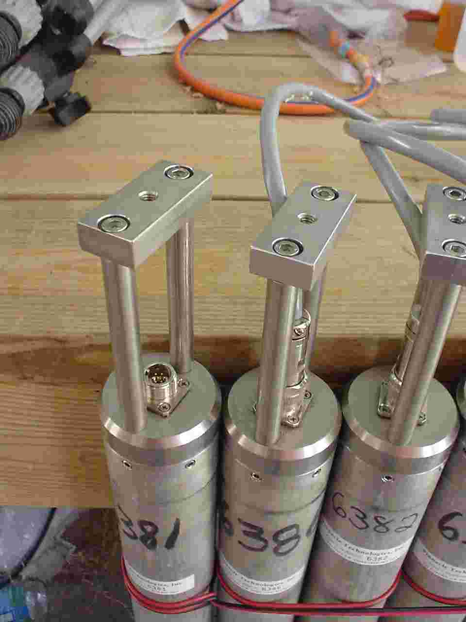 |
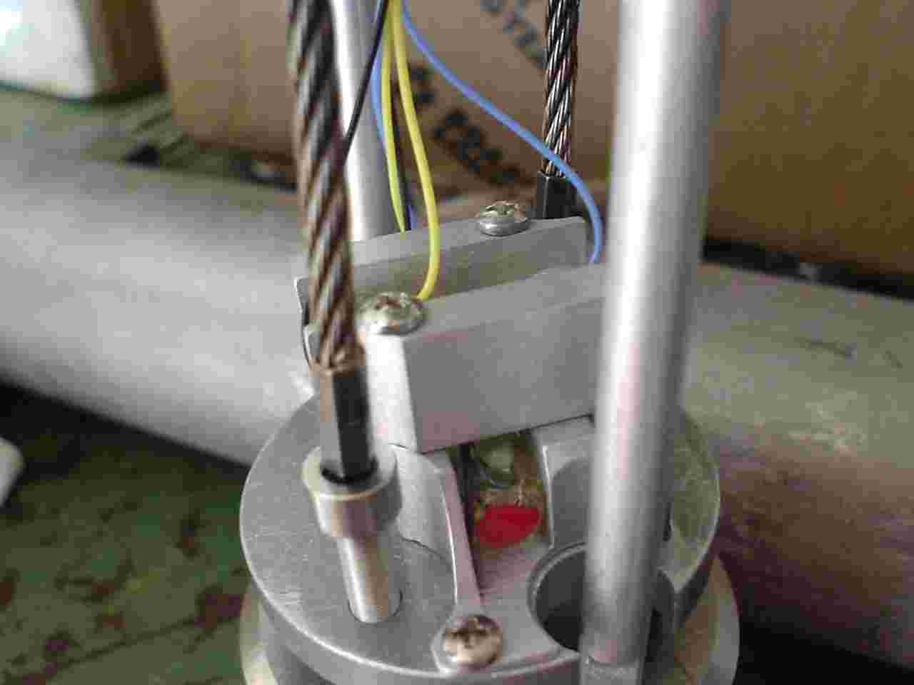
Tiltmeter heads with couplings. |
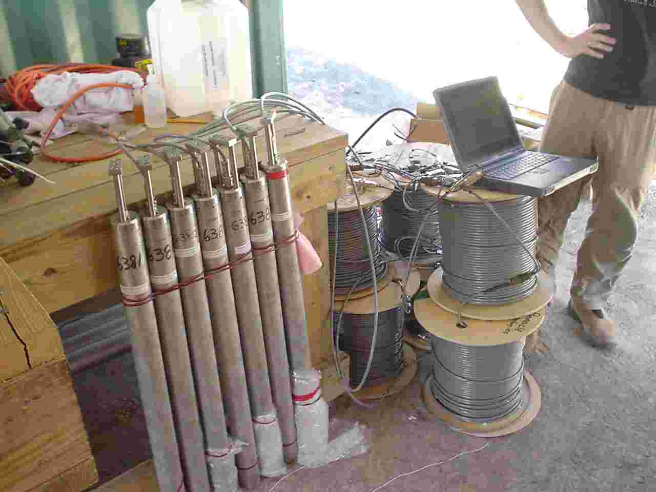 |
Tiltmeters and data acquisition system. |
 |
Tiltmeter interior. Curved glass vials at base with electronics boards above. |
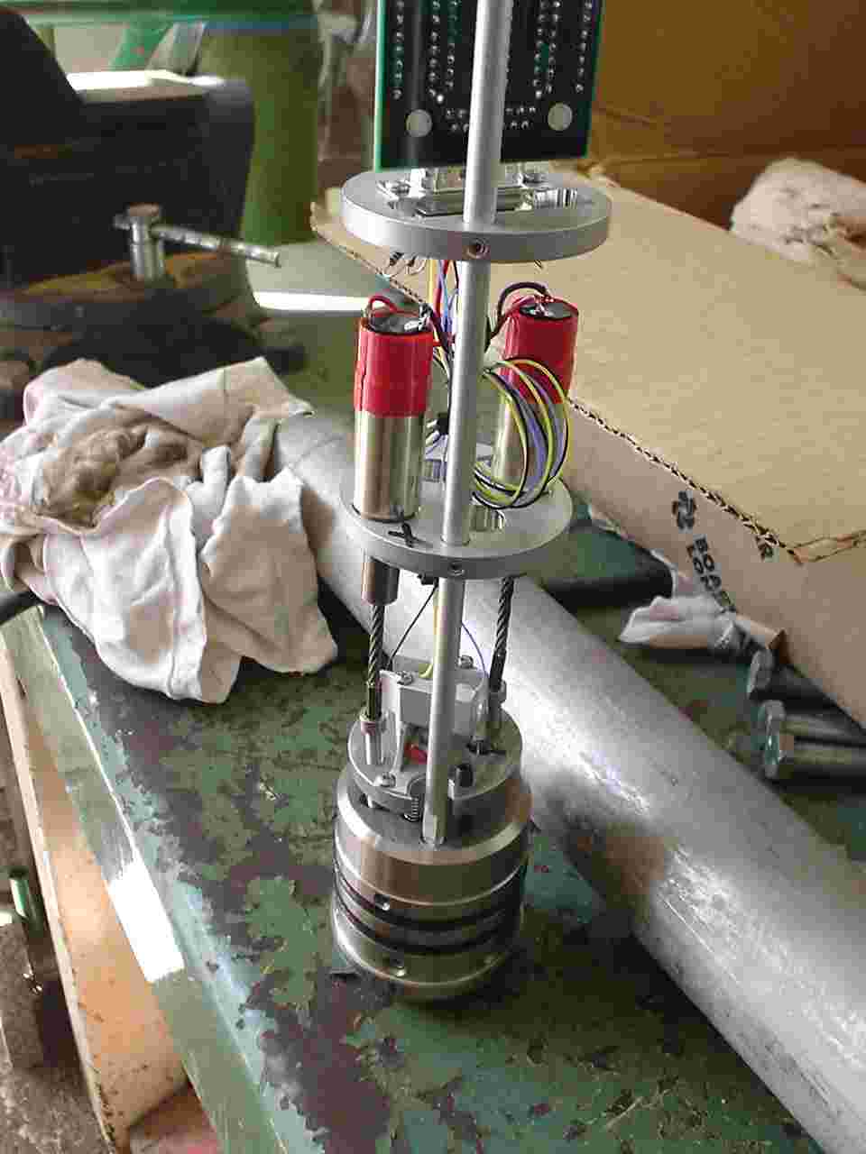 |
Resetting motors (red) and couplings to reset the leveling vials after full-range travel. |
 |
Orthogonal leveling vials. |
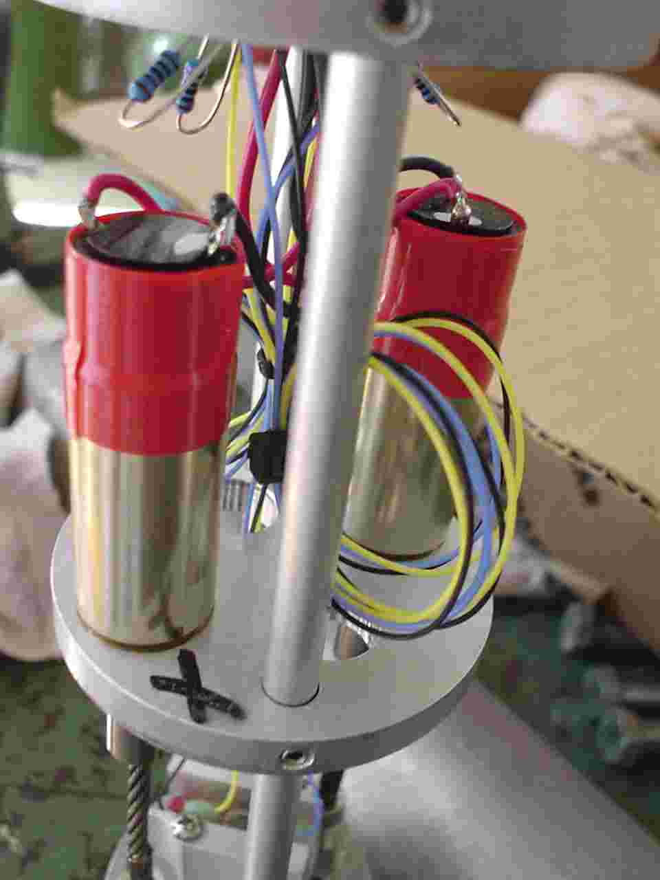 |
Close-up of resetting motors, geared 128,000:1. |
 |
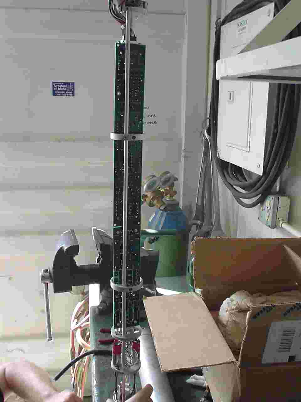
Side-view of electronics boards. |
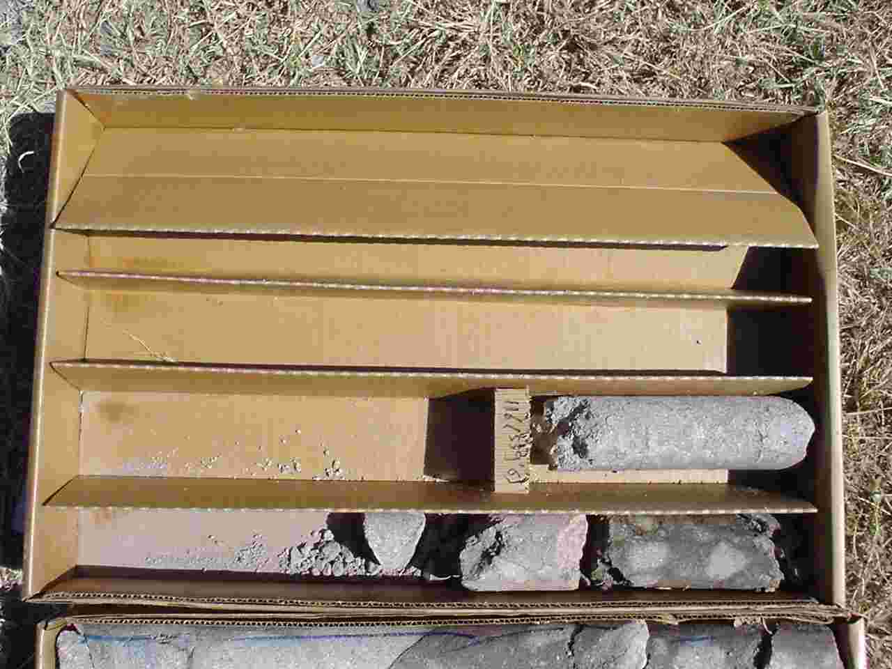 |
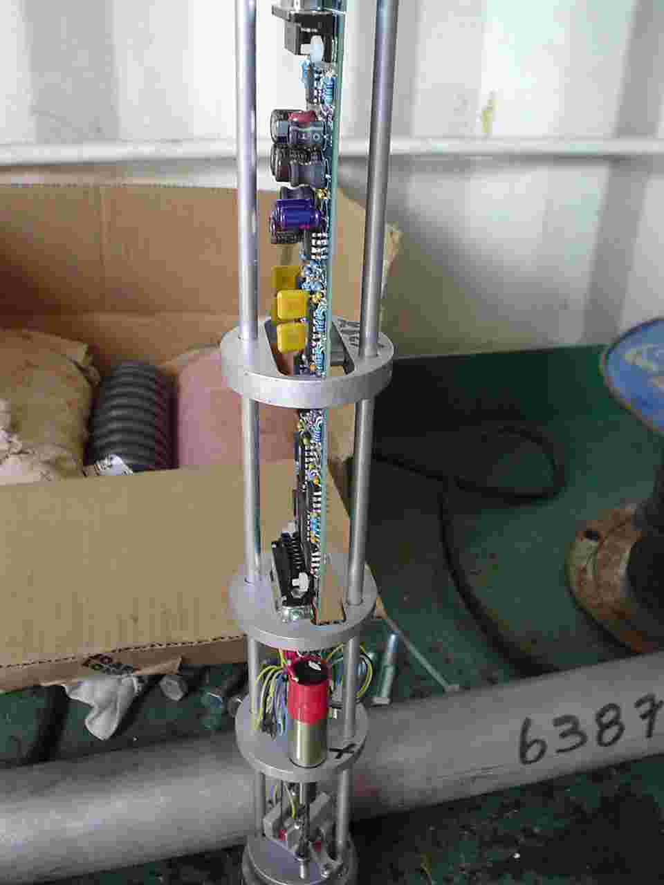
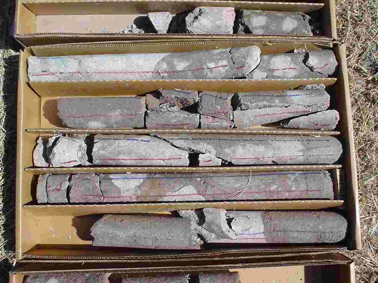
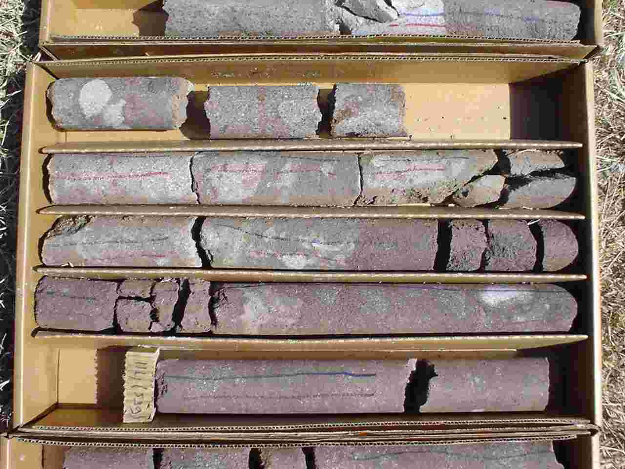
Core from the instrument
portion of the hole.
Hole base at 560 feet..... |
 |
|
 |
|
 |
|
 |
|
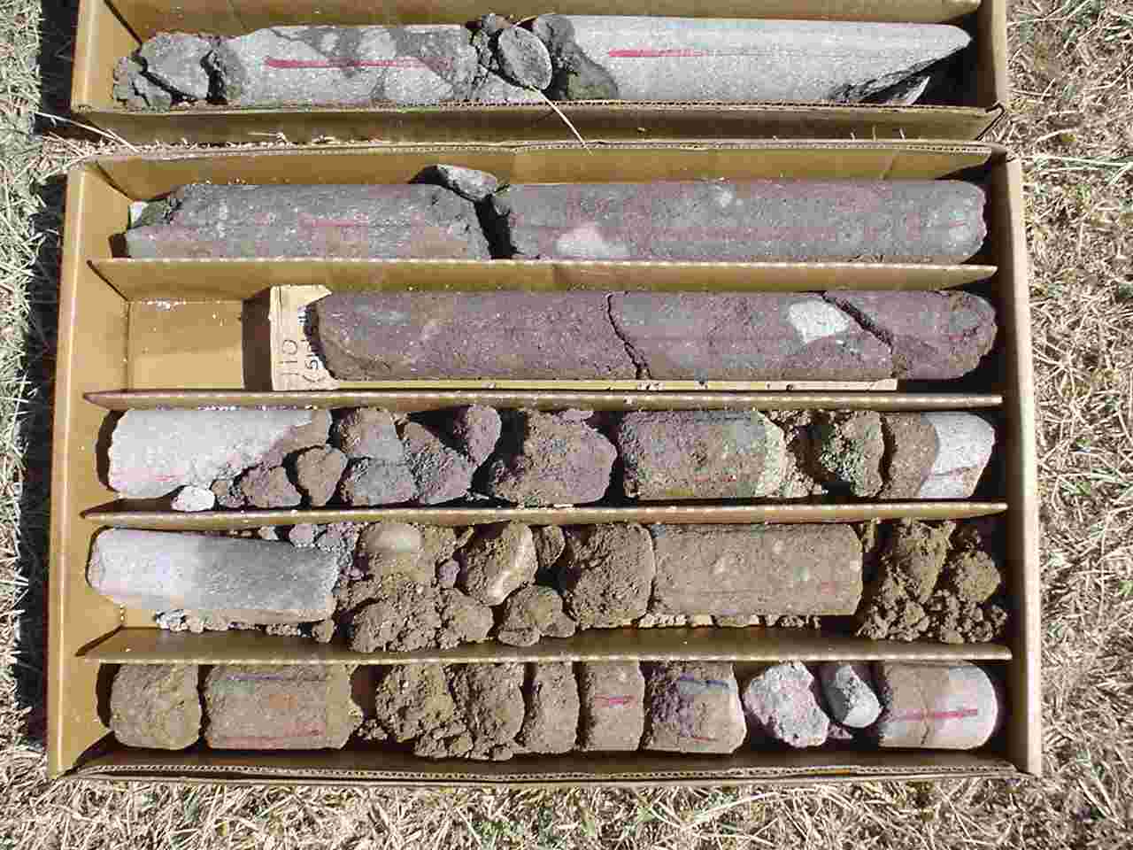 |
....to the intersection with the PQ-cased portion of the hole at 500 feet. |
 |
SHV dome from close to the new MVO. Late evening. |
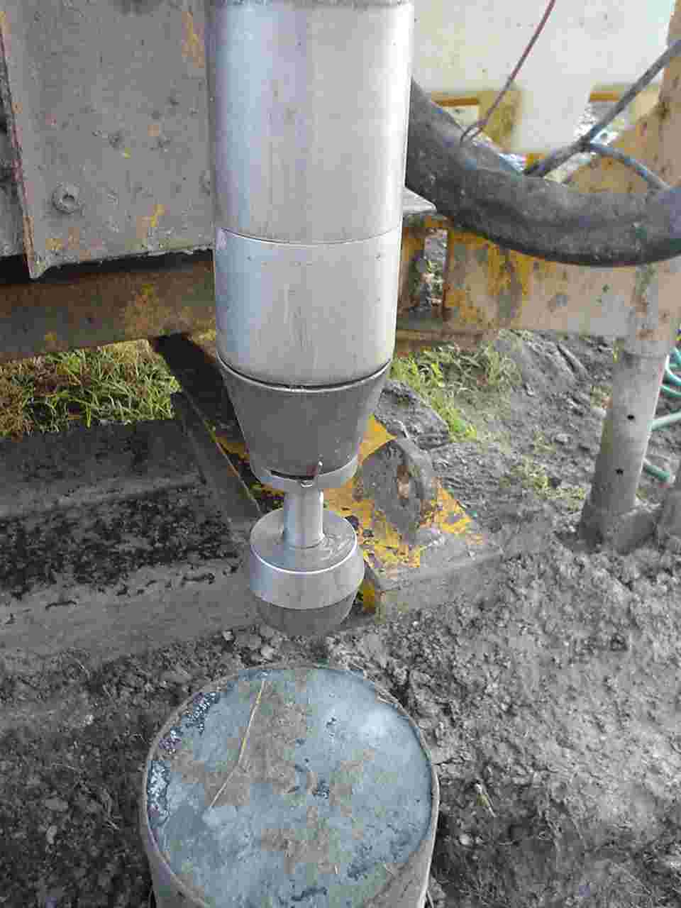 |
Carnegie bailer with base-opening trapdoor. |
|
|
Getting ready to install the strainmeter at Trants. Bailed hole is backfilled with grout. |
|
|
.. using a bottom release bailer. |
|
|
|
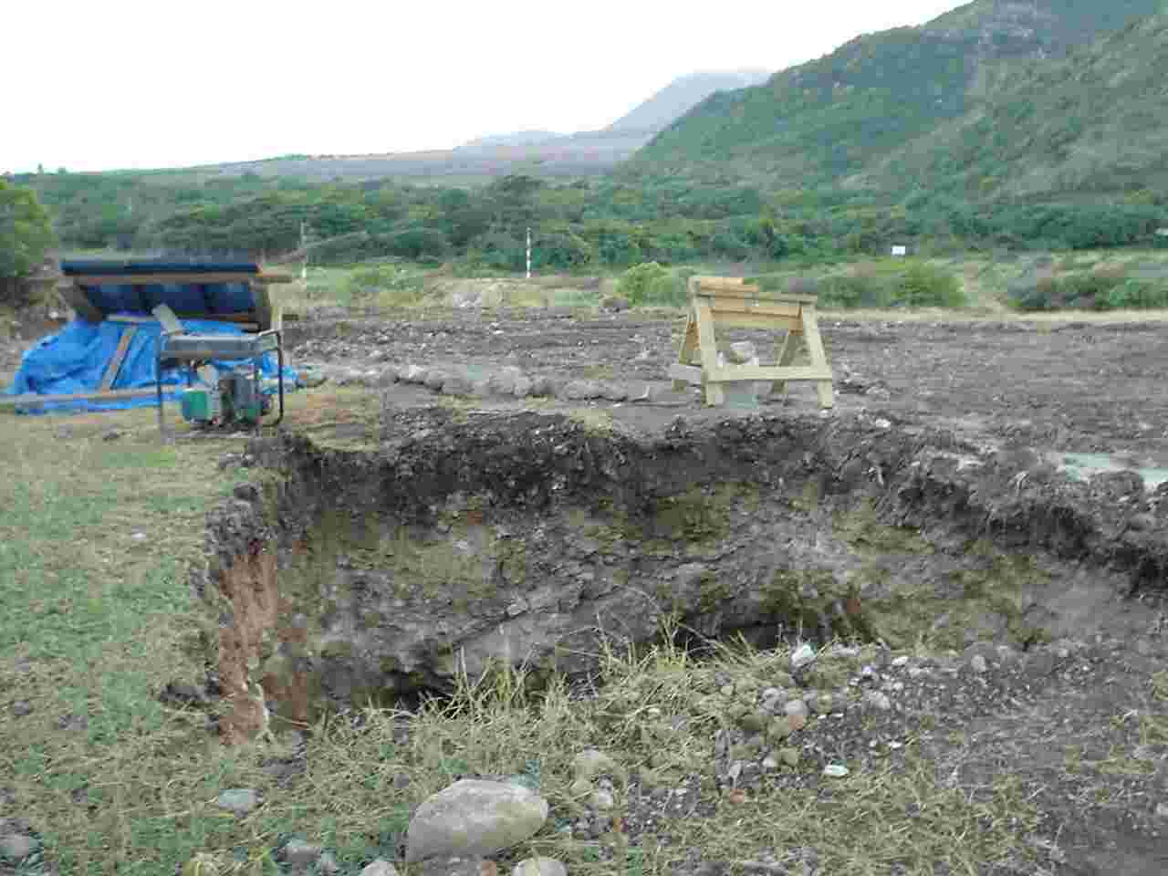 |
GPS crypt excavated at Trants (Pelican Ghaut) site. |
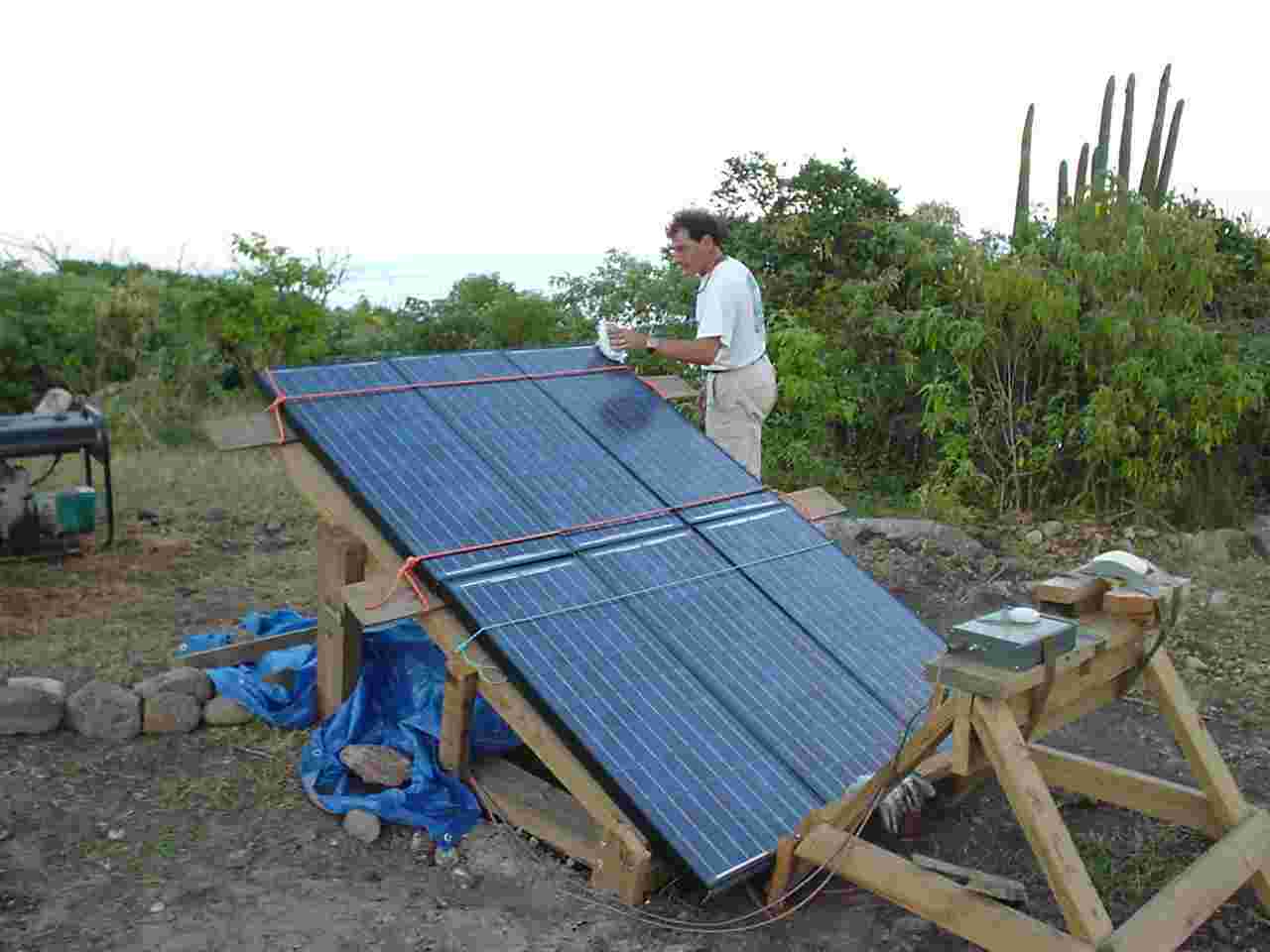 |
PV array being cleaned of ash. |
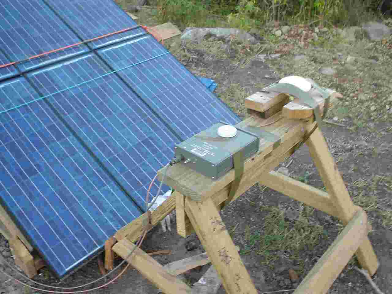 |
GPS receivers for the time-stamping of the geophone, strainmeter, and tiltmeter data. |
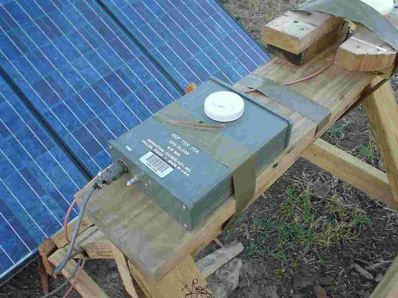 |
GPS timestamp receivers. |
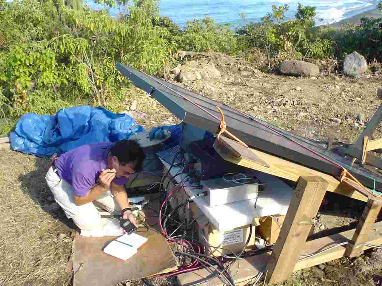 |
Manual data downloads from the Reftek boxes (seismic and dilation signals) and the tiltmeter. |
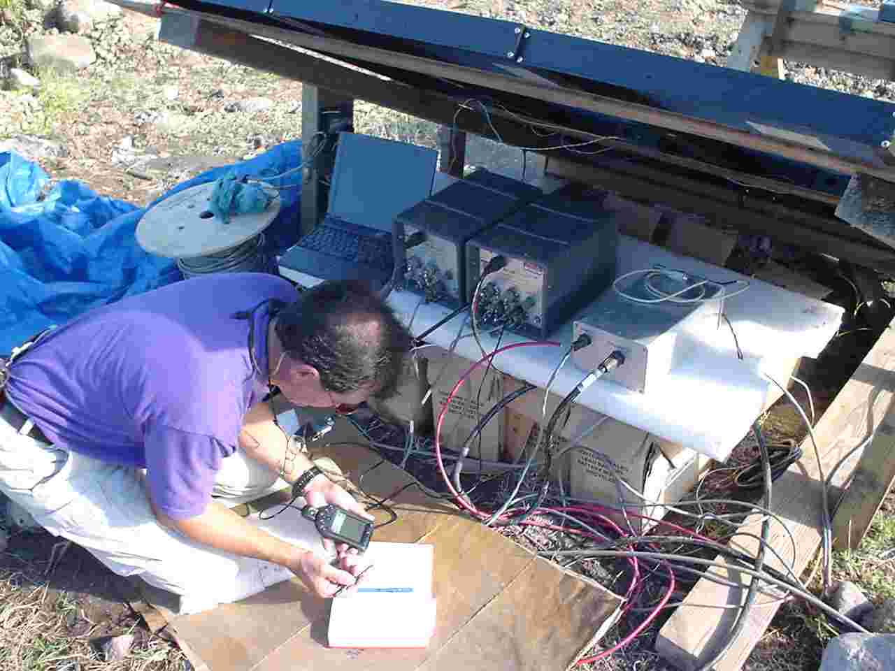 |
Manual downloads. |
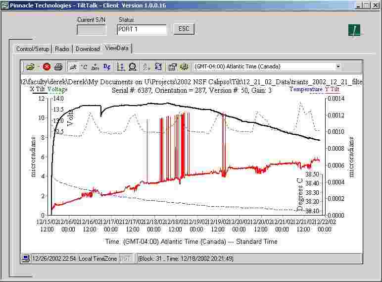 |
First tilt data from Trants. December 20th. |
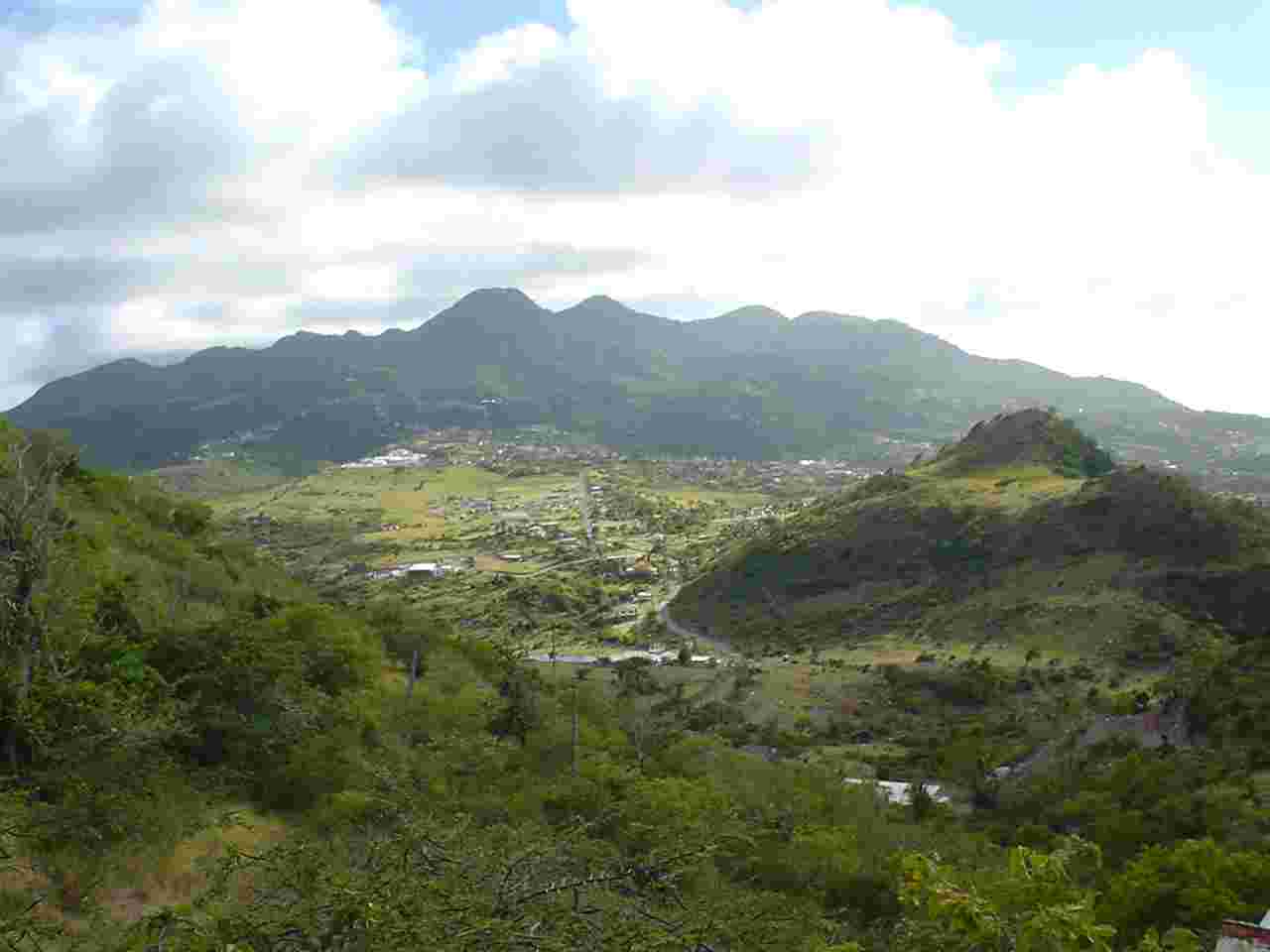 |
Center Hills complex from Silver Hills looking south. |
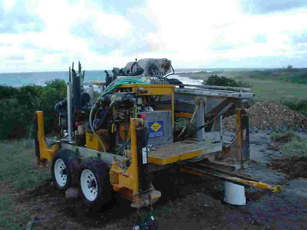 |
Rig ready for move to the Air Studios site. |
 |
Side-view of rig ready for removal to next site. See mast in background. |
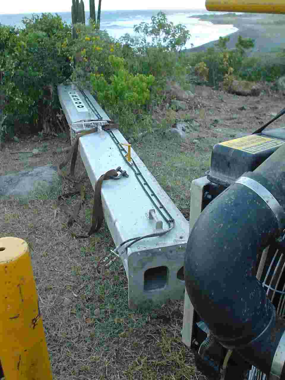 |
Mast awaiting dismantling after removal from rig. |
 |
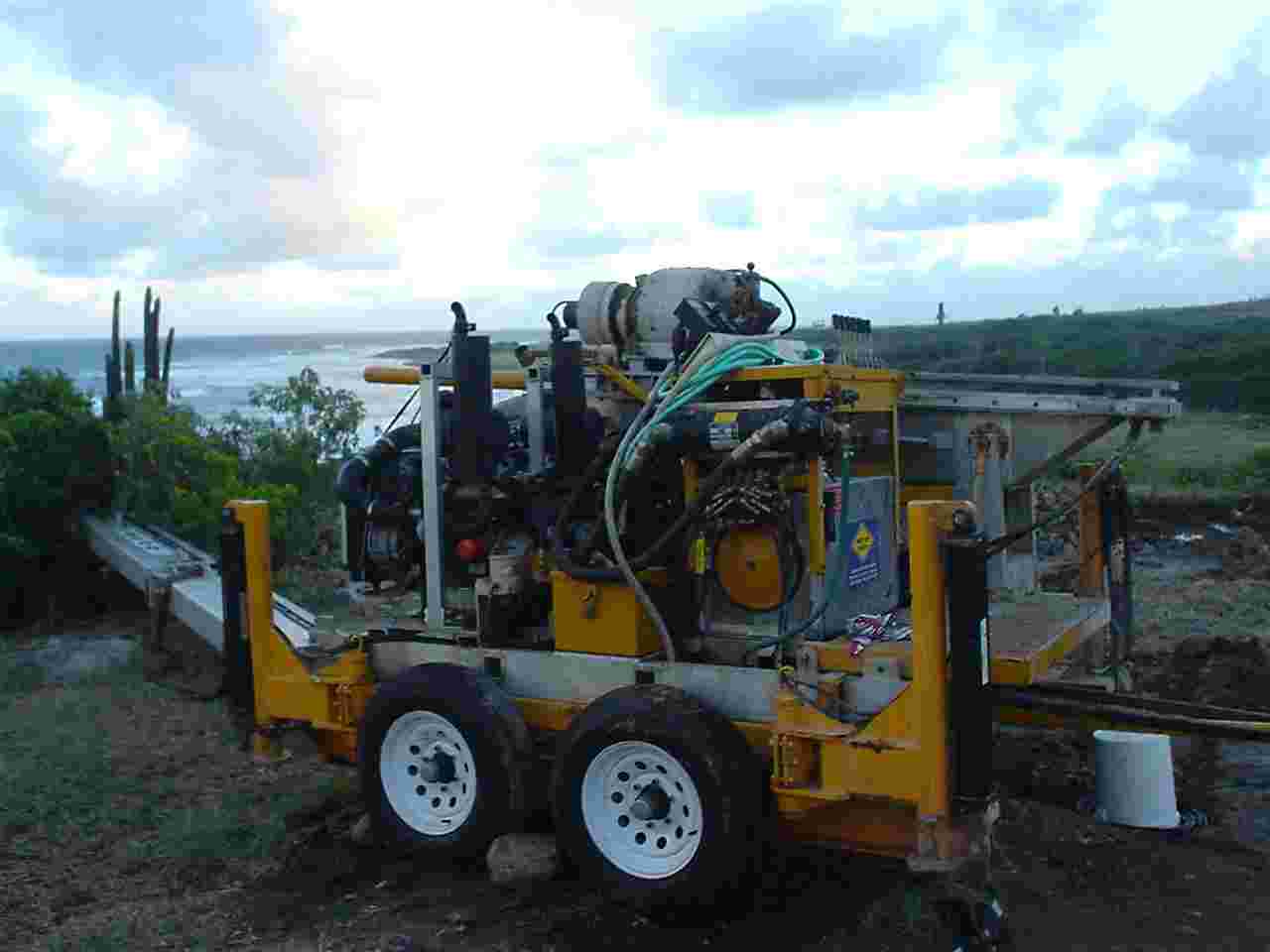
Turntable on rig, ready for transit. |
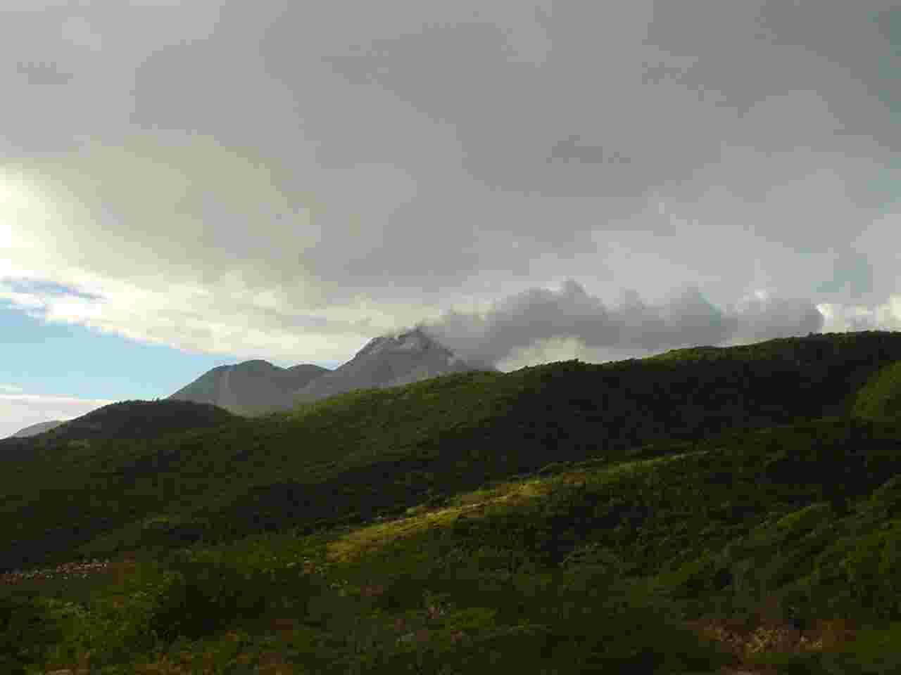 |
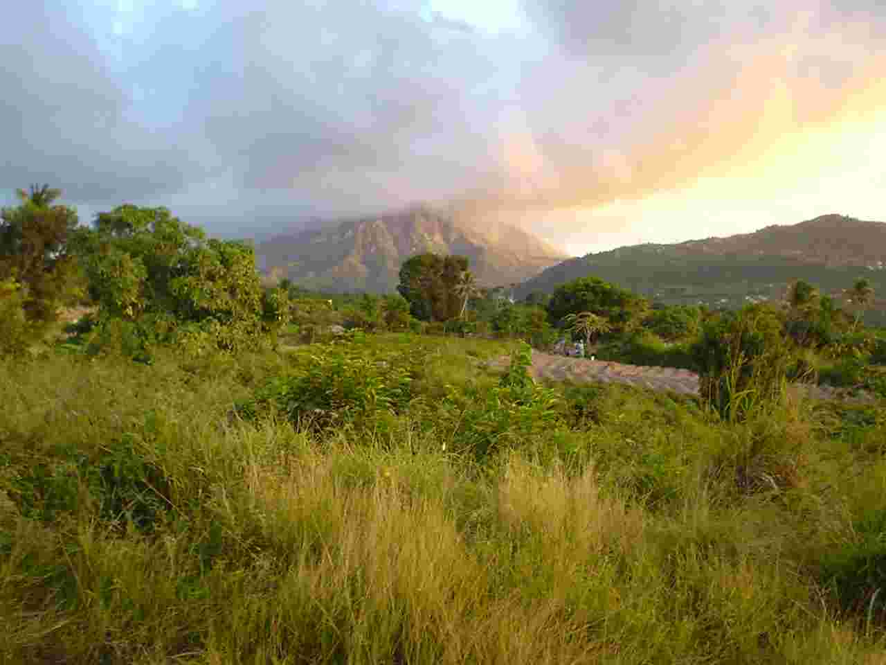
An unusually clear view of the SHV dome from Trants. |
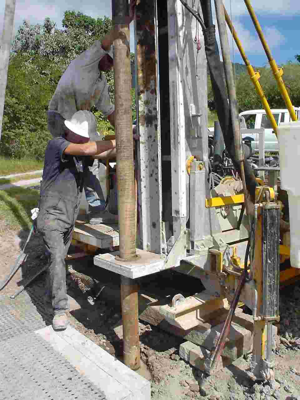 |
Set-up on the Air Studios site. Drilling the initial hole through the overburden. |
 |
Water recirculation to drillhole collar. |
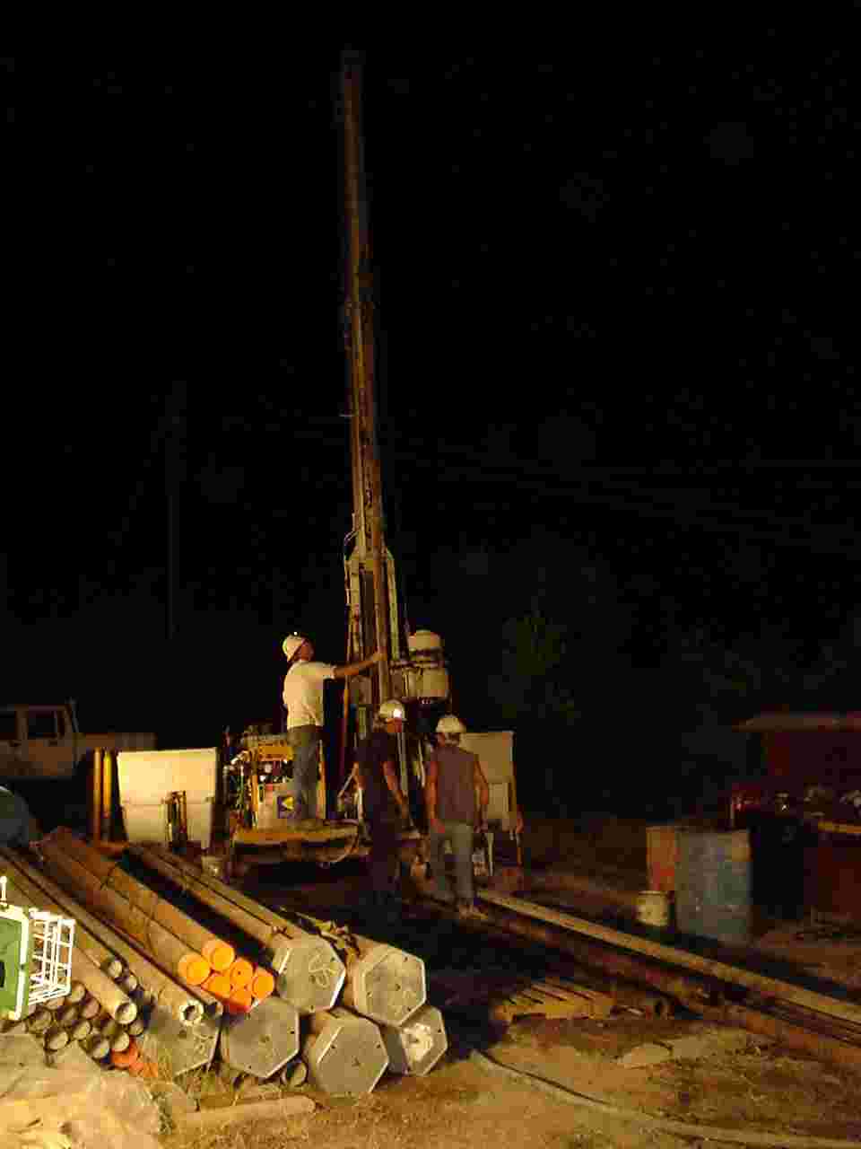 |
Night-time drilling. |
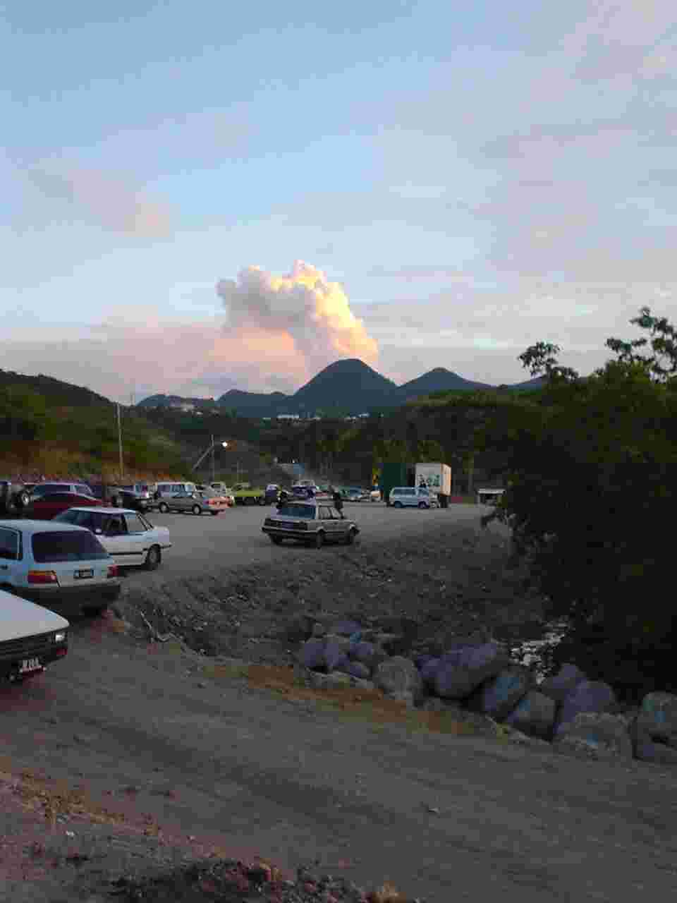 |
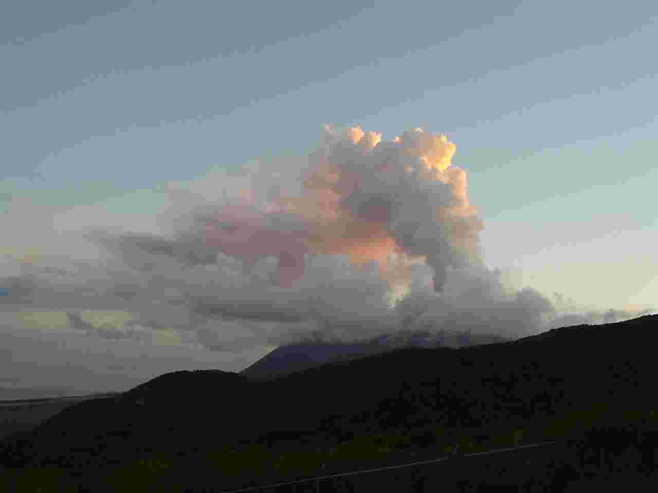
Water-vapor column developing. Viewed from Little Bay. |
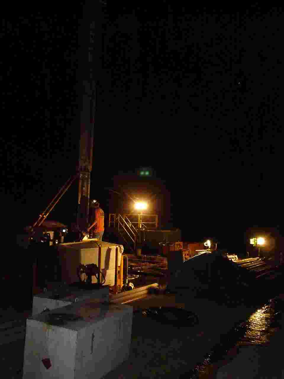 |
Night-time drilling. |
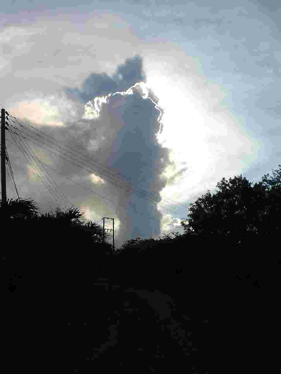 |
Water-vapor column observed from Air Studios site. |
|
|
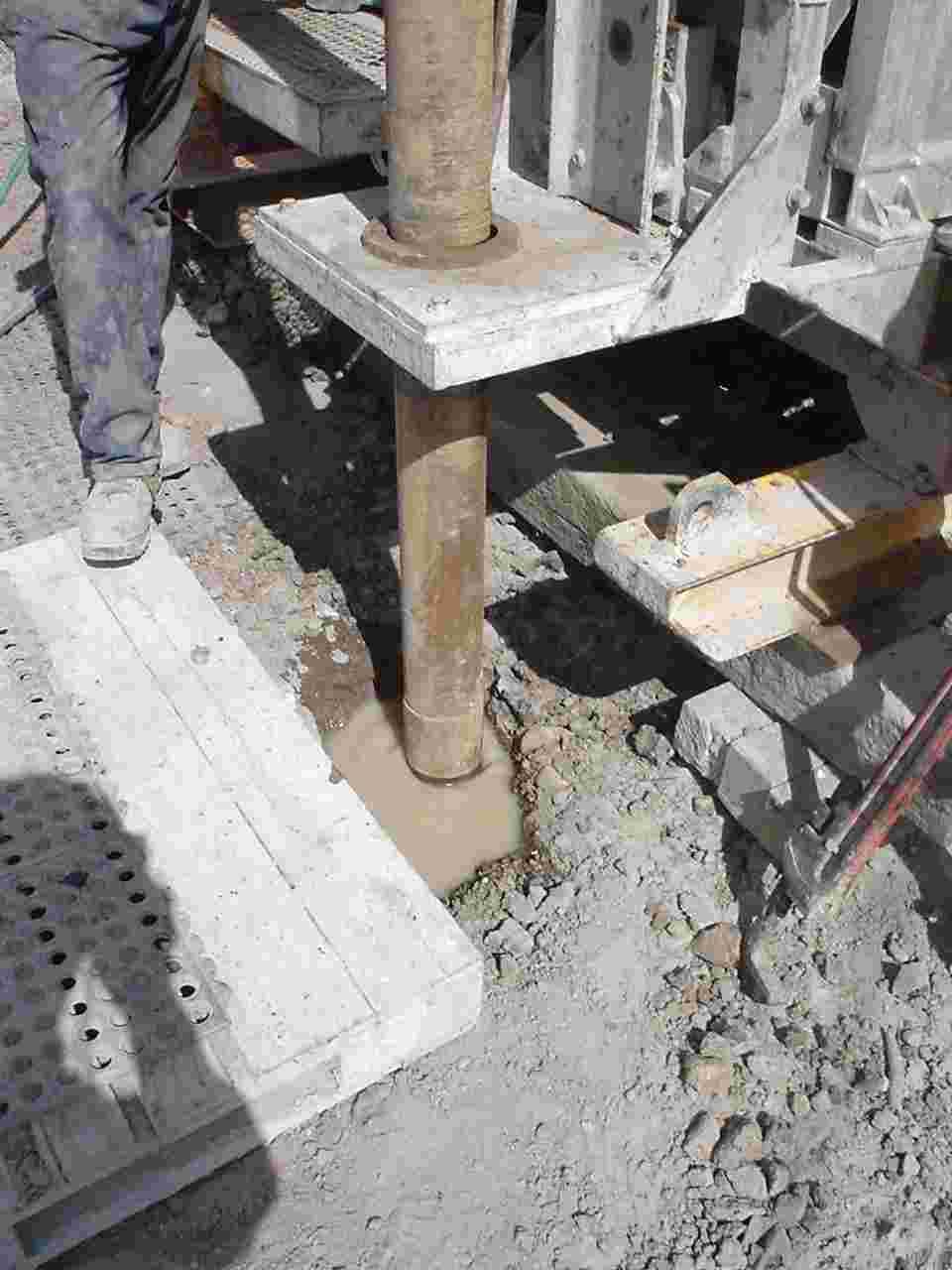
Drilling initiates at Air Studios. Drill rod is kept central as it rotates in the initial few feet of the hole. |
|
|
Initial drilling at Air Studios. |
|
|
Plugging lost-circulation zones with a slurried mixture of bentonite and paper. |
 |
SHV from Jack Boy Hill. |
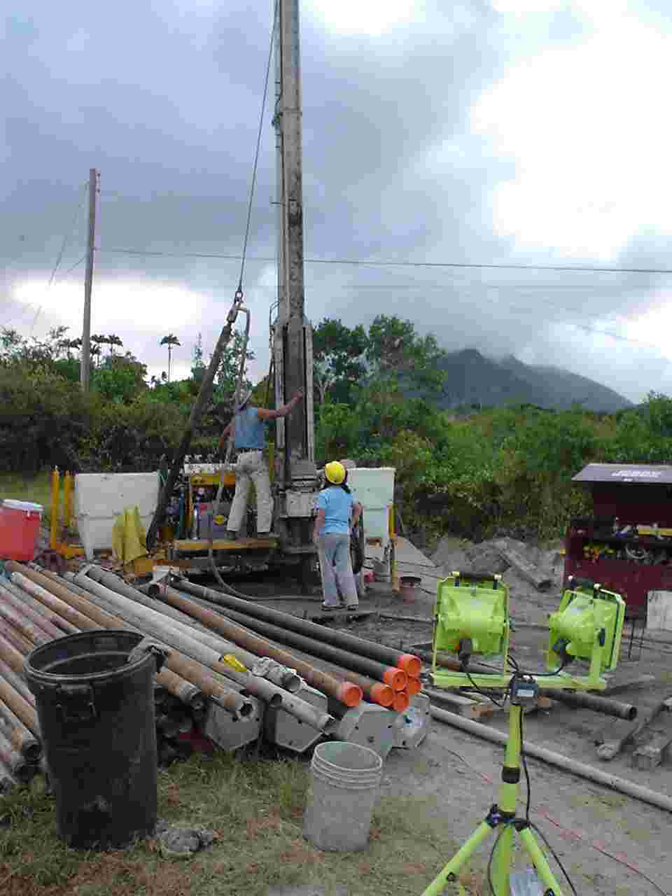 |
Air Studios site with SHV Dome in background. |